Proposer: Erick Tamba Mnyali – Role or Function: Organization Director
April 5th, 2024
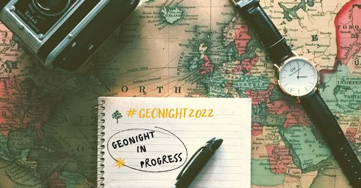
GeoSpark Tanzania
Description:
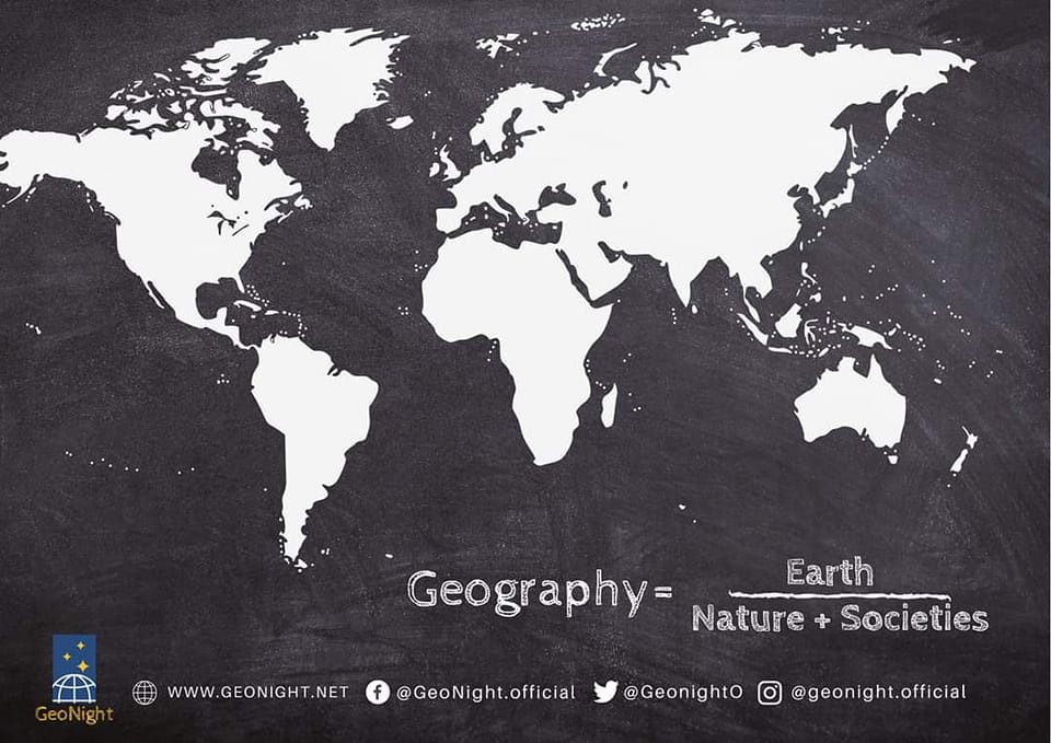
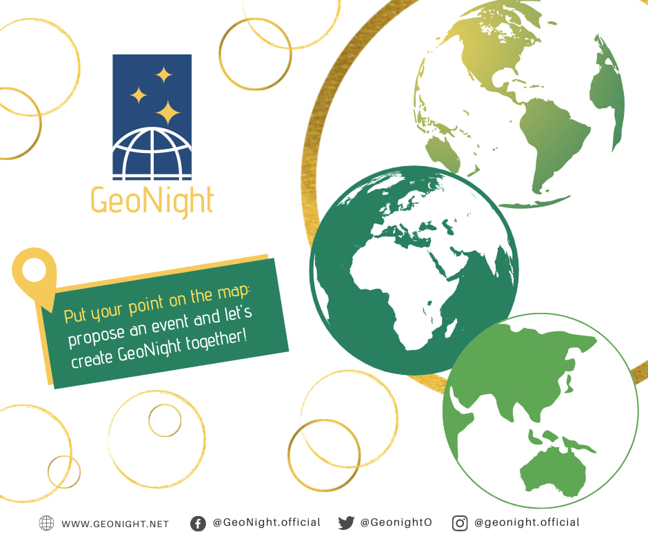
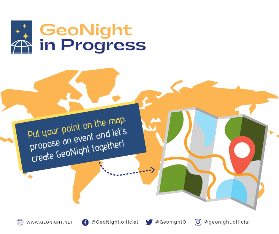
GeoSpark_Tanzania is a night-long geospatial hackathon that specifically aims to leverage open mapping in tackling challenges associated with the Sustainable Development Goals (SDGs). This unique event serves as a collaborative platform, bringing together students, enthusiasts, geospatial experts, cartographers, and developers across various sectors. The primary focus is on creating innovative solutions using geospatial open data.
The hackathon is guided by several key objectives. Firstly, it seeks to promote the utilization of geospatial data for addressing challenges linked to the SDGs through the practice of open mapping. Secondly, it aims to foster collaboration and innovation among participants within the geospatial and mapping community, encouraging a collective effort towards addressing global challenges. Thirdly, GeoSpark_Tanzania provides a dedicated platform for participants to enhance their skills in mapping, geospatial analysis, and visualization, facilitating professional development within these domains.
In addition to skill development, the event is geared towards making a tangible impact by contributing to meaningful projects aligned with the principles of open mapping. By emphasizing collaboration, innovation, and skill enhancement, GeoSpark_Tanzania stands as a dynamic initiative that not only promotes the practical use of geospatial data but also actively engages participants in addressing pressing issues related to sustainable development.
Objectives:
The hackathon is guided by several key objectives. Firstly, it seeks to promote the utilization of geospatial data for addressing challenges linked to the SDGs through the practice of open mapping. Secondly, it aims to foster collaboration and innovation among participants within the geospatial and mapping community, encouraging a collective effort towards addressing global challenges. Thirdly, GeoSpark_Tanzania provides a dedicated platform for participants to enhance their skills in mapping, geospatial analysis, and visualization, facilitating professional development within these domains.
Event Language: English
The event will be: “Live” in presence
Country: TANZANIA
City: MOROGORO
Address: TANZANIA,MOROGORO,MAZIMBU
Reference Organization (if any): Geospatial Technology and Environment (GeoTE)
Estimated starting time: 20.00.00
The whole Night
Those who organize the event are: Academics, Geography enthusiasts, Students
School event? No
Comments or Notes:
24276